Why it matters
A clipped shoot, rubbed bark or narrow path is a clue, not a complete census. Animals, weather and human use can create similar marks. Repeated observations help a land steward protect habitat and distinguish a maintained footpath from an animal route.
What you’ll need
Tools
- Notebook
- Camera
Materials
- Existing permitted path
Before you begin
Safety & limits
- Do not enter dens, nesting areas or dense cover after an animal. Keep distance from wildlife and follow local large-animal guidance.
- Do not taste browsed plants or assume bite marks establish that a plant is safe for people or livestock.
Work carefully, in order
The method
- 01
Choose a fixed viewpoint
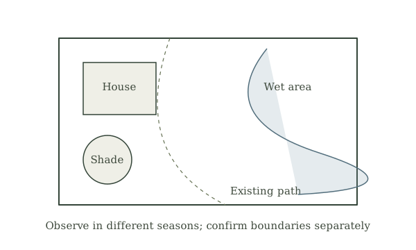
Walk a permitted route and select a visible edge for repeated photographs. Note date, weather, vegetation and nearby human or livestock paths. Avoid creating a new trail to follow a faint animal route.
- 02
Describe the signs
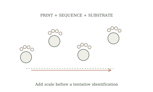
Record the height and pattern of clipped twigs, bark rubbing, tracks and scat without touching biological material. A single broken stem could be weather or equipment damage. Photograph both a close view and the wider setting.
- 03
Compare candidates
Use local wildlife and plant references to consider which animals are present and which plants are affected. Some browsers leave ragged edges; other causes may look similar. Keep the identification tentative until multiple independent clues agree.
- 04
Map without pursuing
Mark broad direction and habitat connections from the established path. Do not walk a route into a den or feeding animal. If a route crosses a road or planned fence, seek local wildlife-aware design guidance.
- 05
Revisit and act modestly
Repeat photographs across seasons. Compare new growth, repeated browsing and whether the route persists. Protect a vulnerable planting with a suitable local plan rather than treating one sign as proof of overpopulation.
Mistakes to avoid
- Calling every gap a game trail
- Inferring species from one bite mark
- Walking into cover to confirm a den
If it isn’t working
Signs are ambiguous
Record them as unknown and repeat the observation after another season or fresh substrate.
Young trees are repeatedly damaged
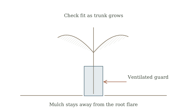
Identify the plant and likely browser with local extension help before choosing protection.
Then & now
Historical context
Woodland observers used signs of feeding and travel to understand seasons and animals. Modern habitat work pairs such signs with measured vegetation change and species-specific evidence.
The modern equivalent
Vegetation plots and wildlife surveys can test patterns that casual signs only suggest.
Sources & review
Editorial draft — specialist review pending. Written 2026-09-28. Sources support the stated scope; this page has not been professionally certified.
- National Park Service — Tracks on the trail ↗
Browse, scat and other signs. Checked 2026-09-28.
- National Park Service — Respect wildlife ↗
Observe from a distance. Checked 2026-09-28.
- University of Minnesota Extension — Woodlands for pollinators ↗
Browsing pressure in woodland management. Checked 2026-09-28.